
This information is Issued for Puerto Rico and the Virgin Islands.For more information visit your corresponding Seismological Institution or theTsunami Warning Centers
| Event Details | |
|---|---|
| Estimated Maximum Intensity: | V in Tortola, BVI |
| Date: |
July 10, 2023 20:28:30 UTC July 10, 2023 16:28:30 Hora Local |
| Region: | NORTH ATLANTIC OCEAN |
| Distances: |
292.38 Km Northeast of Anguilla,UK 302.21 Km Northeast of Saint Barthélemy,France 574.88 Km East-Northeast of San Juan,PR |
| Magnitude: | 6.6 Mww |
| Location: | Latitude: 20.020 Longitude: -61.096 |
| Depth: | 10 Km |
| Tsunami Warning Level: | No Warning, Advisory or Watch is in effect for Puerto Rico and the Virgin Islands |
| Issued Date & Time | 2023-07-10 16:55:49 |
| ID: | 20230710202825 |
Epicentral Map
| BULLETIN 2 Seismic Event/Tsunami |
|
|---|---|
| DATE: | July 10, 2023 |
| LOCAL TIME: | 16:28:30 |
| LATITUDE: | 20.02 N |
| LONGITUDE: | 61.096 W |
| LOCATION: |
292.4 Km Northeast of Anguilla,UK
574.9 Km East-Northeast of San Juan,PR |
| DEPTH: | 10 Km |
| MAGNITUDE: | 6.6 Mww |
| ESTIMATED MAXIMUM INTENSITY: | V in Tortola, BVI |
| TSUNAMI ALERT LEVEL: | No Warning, Advisory or Watch is in effect for Puerto Rico and the Virgin Islands |
| DATE & ISSUED TIME | 2023-07-10 16:55:59 |
|
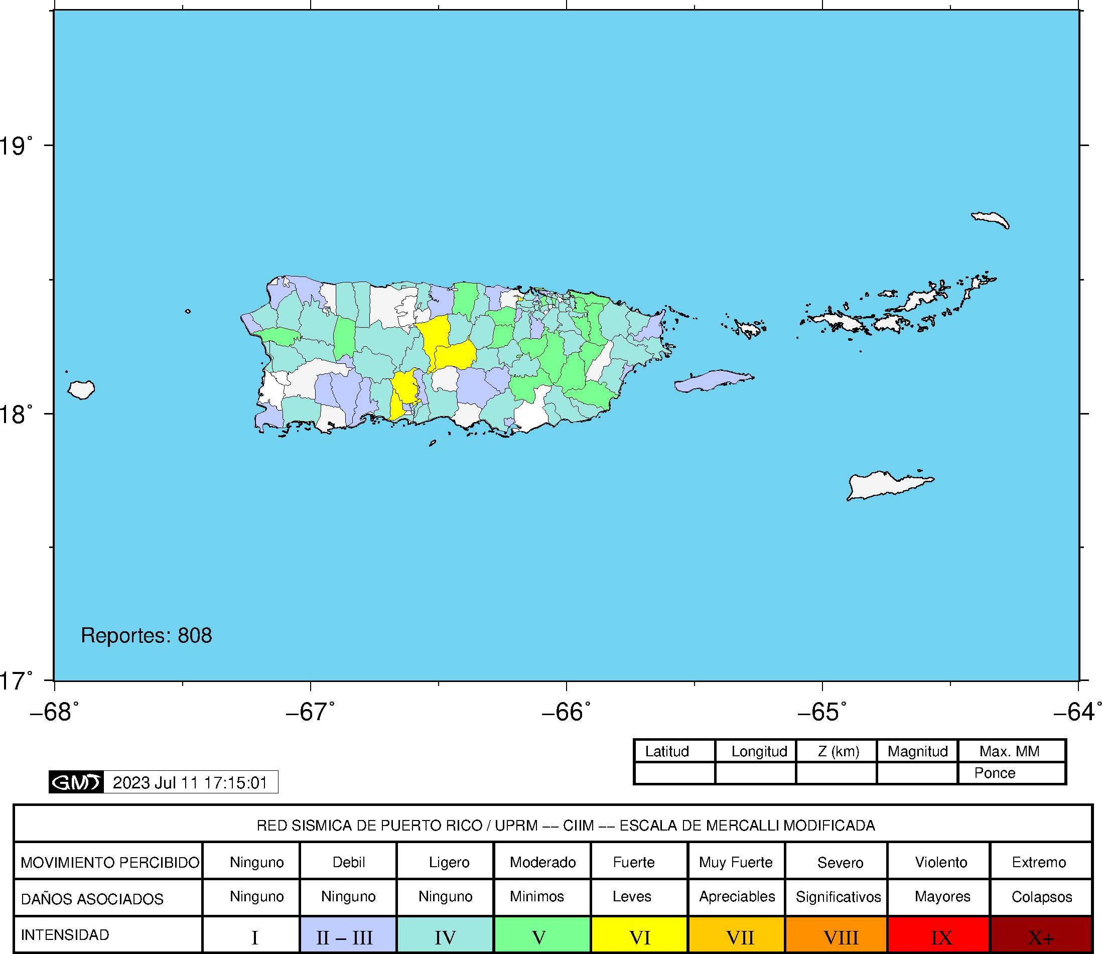
The Puerto Rico Seismic Network (PRSN) received information that this
strong earthquake was reported as
felt in widely throughout Puerto Rico and the Virgin Islands with a maximum
intensity of V (Modified Mercalli Scale, MM).
At the moment of generating this bulletin no damages has been reported, but given the size and location this can not be ruled out Based on magnitude, location and historic records the earthquake was not sufficient to generate a destructive tsunami to Puerto Rico and Virgin Islands. |
|

|
|
Technical Information
No technical information for this event was found.
Event Maps
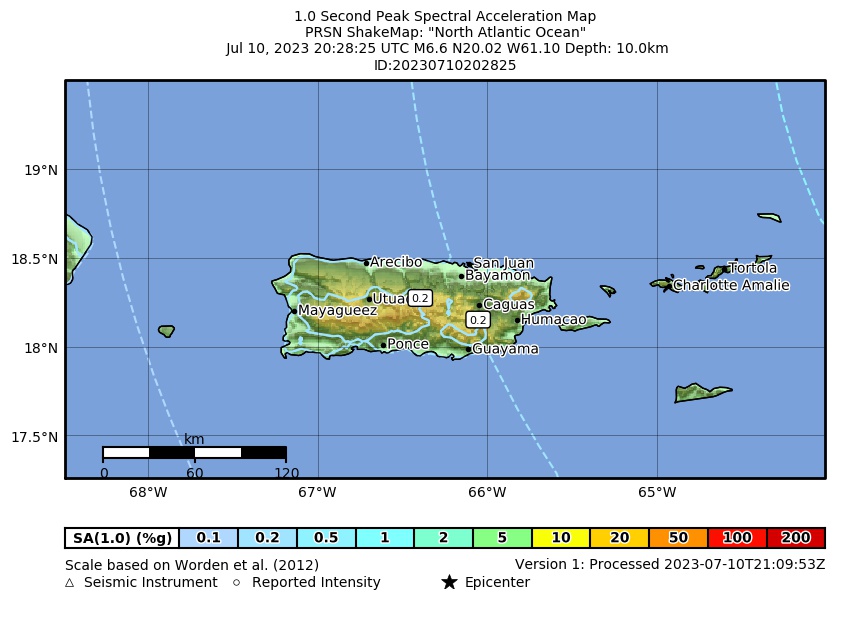 Spectral Acceleration |
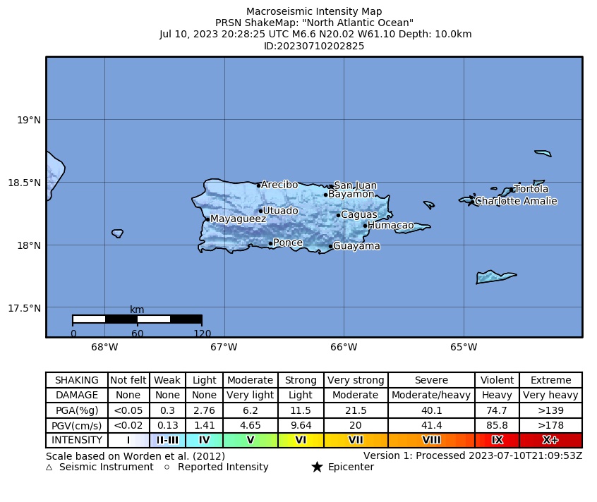 Intensity Map |
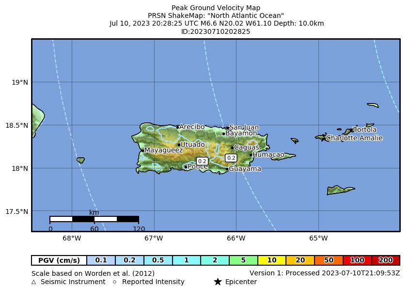 Peak Ground Velocity |
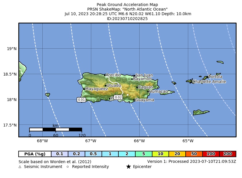 Peak Ground Acceleration |
 DYFI Map |
Google Map for this Event |