No Warning, Advisory or Watch is in effect for Puerto Rico and the Virgin Islands.

No Warning, Advisory or Watch is in effect for Puerto Rico and the Virgin Islands.
The danger of a tsunami in Puerto Rico is real. Since 1867, two tsunamis have affected their coastal region, causing death and destruction in 1867 and 1918. Although the source of these tsunamis have been earthquakes, a tsunami can also be generated by an underwater landslide, a volcanic eruption and the impact from a meteorite. However, in the case of Puerto Rico, an eruption is little likely to occur.
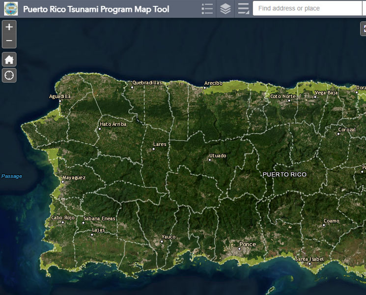
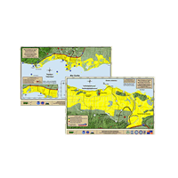
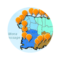
Click here to see map on full screen
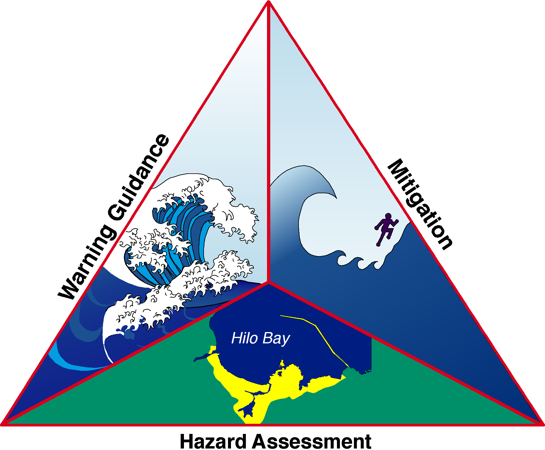
In Puerto Rico, efforts have been coordinated under the National Tsunami Hazard Mitigation Program (NTHMP) at the University of Puerto Rico in Mayaguez (UPRM) while region efforts have been coordinated by Intergovernmental Oceanographic Commission (IOCARIBE), from UNESCO.
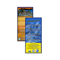
This program is designed to reduce the impact of tsunamis through the evaluation of hazards, orientations about alert messages and mitigation. NTHMP works in the development of inundation maps by tsunamis, using forecast means in the long term, to be used for community training, files of standardized data and the knowledge of tsunamis occurred in the past. The mitigation component works to improve the dissemination activities, planning for the mitigation of hazards, evacuation plans, development of educational material, the Tsunami Ready Program by NOAA, public education among others.