
This information is Issued for Puerto Rico and the Virgin Islands.For more information visit your corresponding Seismological Institution or theTsunami Warning Centers
| Event Details | |
|---|---|
| Estimated Maximum Intensity: | I |
| Date: |
June 17, 2026 18:57:00 UTC June 17, 2026 14:57:00 Hora Local |
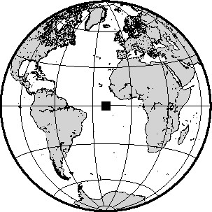
| Region: | CENTRAL MID-ATLANTIC RIDGE |
| Distances: |
5015.64 Km East-Southeast of Montserrat,UK 5075.47 Km East-Southeast of Nevis 5476.04 Km East-Southeast of San Juan,PR |
| Magnitude: | 6.60 Mww |
| Location: | Latitude: -0.525 Longitude: -20.015 |
| Depth: | 10 Km |
| Tsunami Warning Level: | No Warning, Advisory or Watch is in effect for Puerto Rico and the Virgin Islands |
| Issued Date & Time | 2026-06-17 15:17:25 |
| ID: | 20260617185700 |
Epicentral Map
| BULLETIN 2 Seismic Event/Tsunami |
|
|---|---|
| DATE: | June 17, 2026 |
| LOCAL TIME: | 14:57:00 |
| LATITUDE: | 0.525 S |
| LONGITUDE: | 20.015 W |
| LOCATION: |
5015.6 Km East-Southeast of Montserrat,UK
5476 Km East-Southeast of San Juan,PR |
| DEPTH: | 10 Km |
| MAGNITUDE: | 6.60 Mww |
| ESTIMATED MAXIMUM INTENSITY: | I |
| TSUNAMI ALERT LEVEL: | No Warning, Advisory or Watch is in effect for Puerto Rico and the Virgin Islands |
| DATE & ISSUED TIME | 2026-06-17 15:17:36 |
| Based on magnitude, location and historic records the earthquake was not sufficient to generate a destructive tsunami to Puerto Rico and Virgin Islands. | |
|
|
Technical Information
There is no technical information available for this event.