
This information is Issued for Puerto Rico and the Virgin Islands.For more information visit your corresponding Seismological Institution or theTsunami Warning Centers
| Event Details | |
|---|---|
| Estimated Maximum Intensity: | III in Añasco, PR |
| Date: |
July 14, 2026 15:20:14 UTC July 14, 2026 11:20:14 Hora Local |
| Region: | DOMINICAN REPUBLIC REGION |
| Distances: |
46.94 Km North of Samaná,DR 76.59 Km East of Nagua,DR 294.32 Km West-Northwest of Mayagüez,PR |
| Magnitude: | 4.0 Mwr |
| Location: | Latitude: 19.642 Longitude: -69.361 |
| Depth: | 16.6 Km |
| Tsunami Warning Level: | No Warning, Advisory or Watch is in effect for Puerto Rico and the Virgin Islands |
| Issued Date & Time | 2026-07-14 12:00:37 |
| ID: | 20260714152012 |
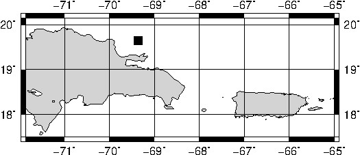
Epicentral Map
| BULLETIN 2 Seismic Event/Tsunami |
|
|---|---|
| DATE: | July 14, 2026 |
| LOCAL TIME: | 11:20:14 |
| LATITUDE: | 19.642 N |
| LONGITUDE: | 69.361 W |
| LOCATION: |
46.9 Km North of Samaná,DR
294.3 Km West-Northwest of Mayagüez,PR |
| DEPTH: | 16.6 Km |
| MAGNITUDE: | 4.0 Mwr |
| ESTIMATED MAXIMUM INTENSITY: | III in Añasco, PR |
| TSUNAMI ALERT LEVEL: | No Warning, Advisory or Watch is in effect for Puerto Rico and the Virgin Islands |
| DATE & ISSUED TIME | 2026-07-14 12:00:45 |
|
The Puerto Rico Seismic Network (PRSN) received information that this
light earthquake was reported as
felt in Añasco and the Dominican Republic with a maximum
intensity of III (Modified Mercalli Scale, MM).
At the moment of generating this bulletin no damages has been reported and are not expected to occur Based on magnitude, location and historic records the earthquake was not sufficient to generate a destructive tsunami to Puerto Rico and Virgin Islands. |
|
|
|
Technical Information
There is no technical information available for this event.
Event Maps
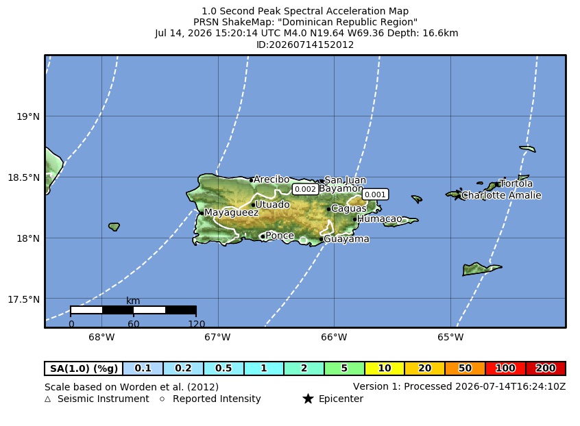 Spectral Acceleration |
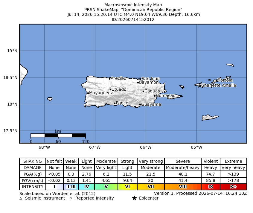 Intensity Map |
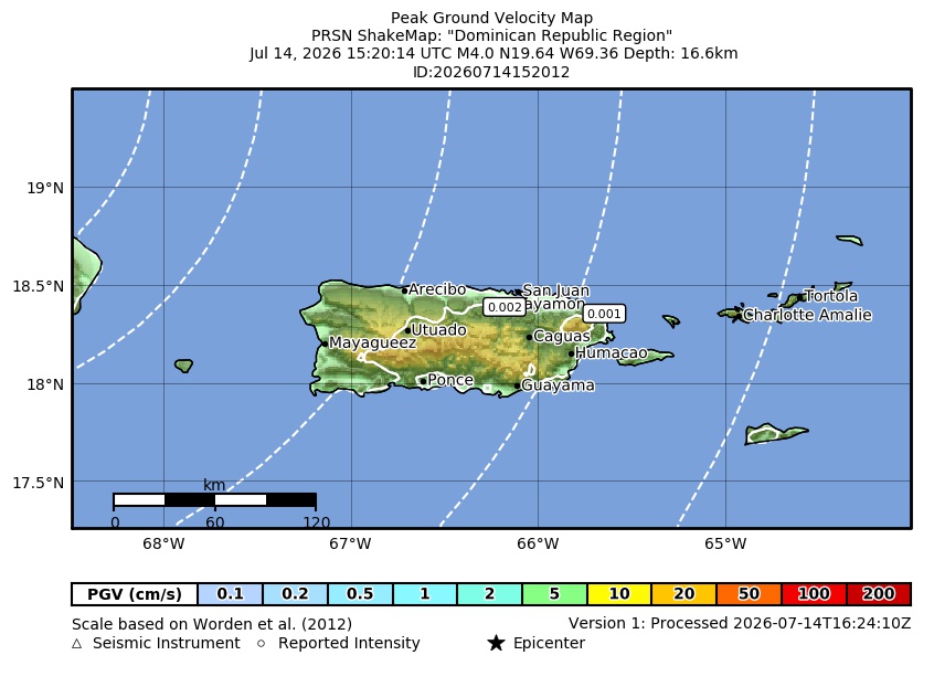 Peak Ground Velocity |
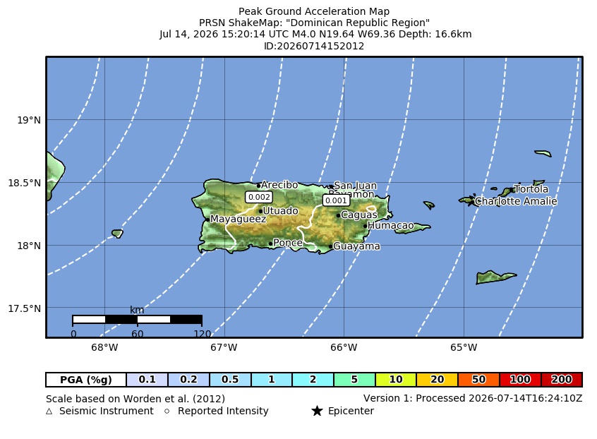 Peak Ground Acceleration |
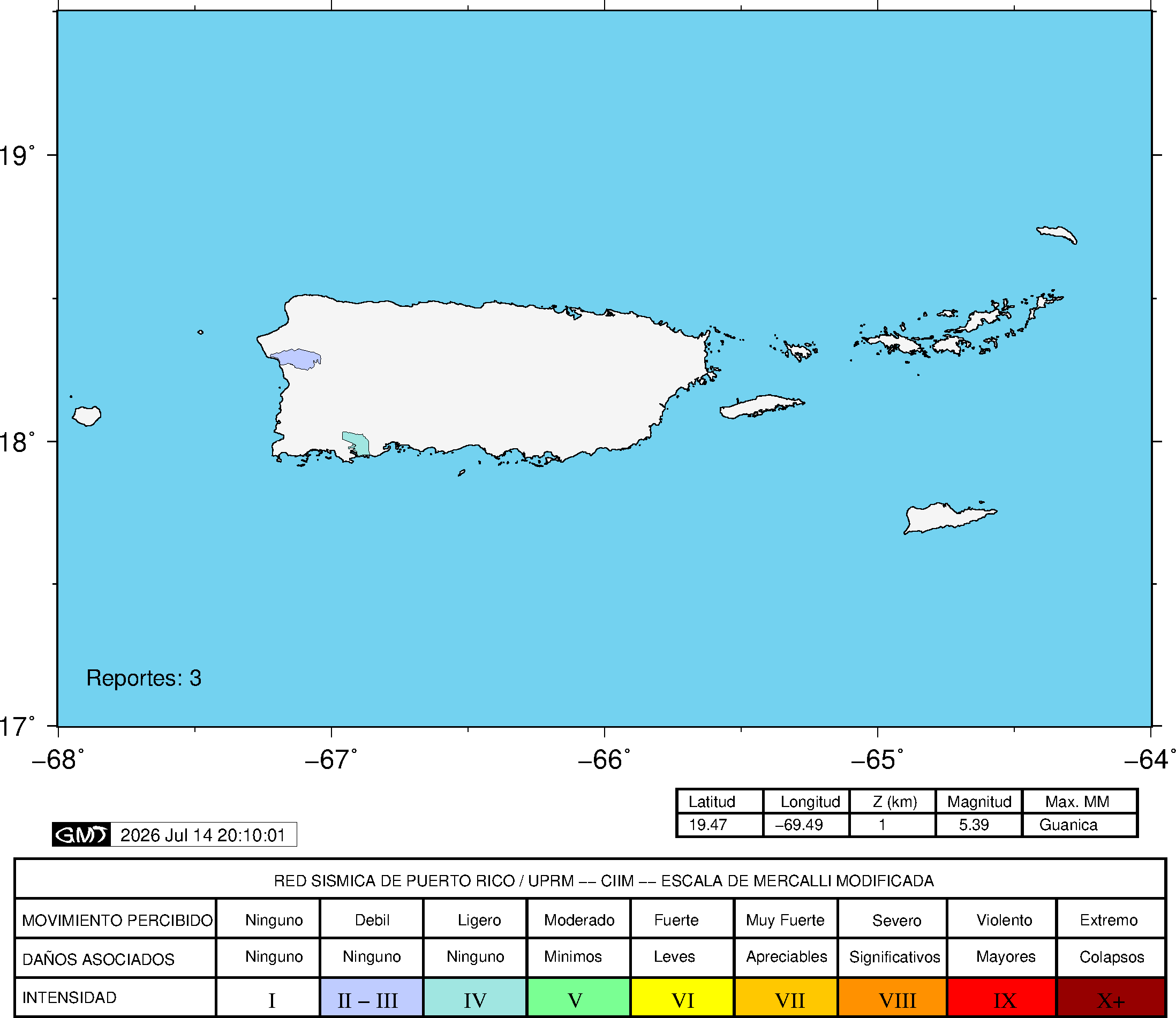 DYFI Map |
Google Map for this Event |